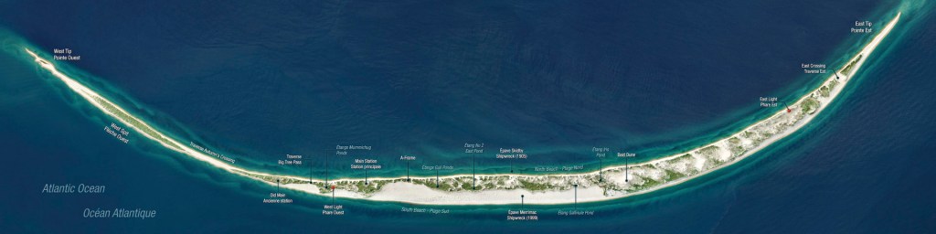
Getting to Sable Island has always been a dream of mine. Sable Island is a roughly 42 km-long, crescent-shaped sandbar located 290 km off the coast of Halifax, Nova Scotia, at the edge of the Continental Shelf in the Atlantic Ocean. This remote island is home to hundreds of wild horses, the world’s largest breeding colony of grey seals, and over 350 species of birds.
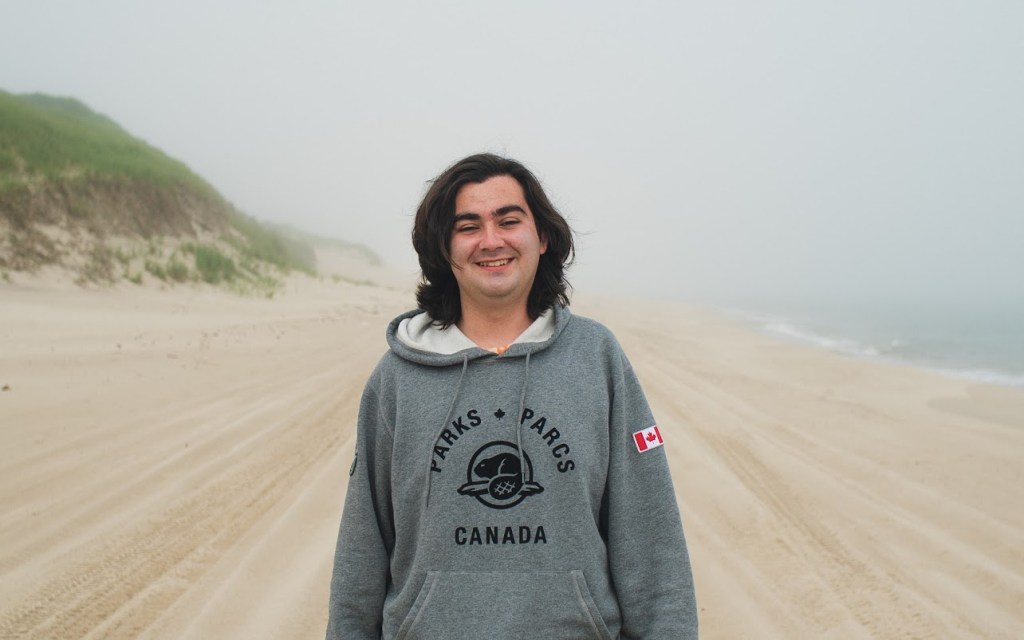
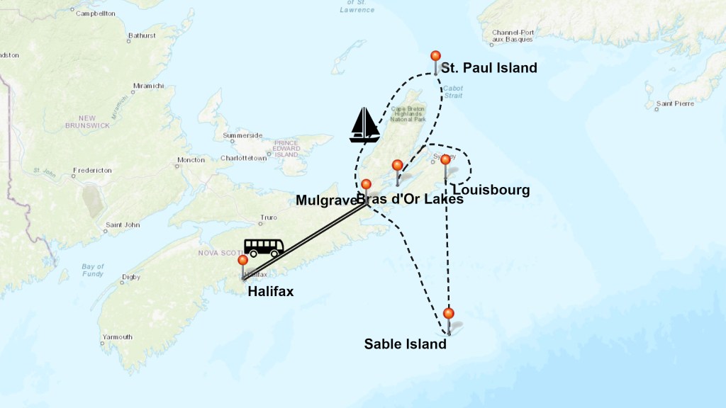
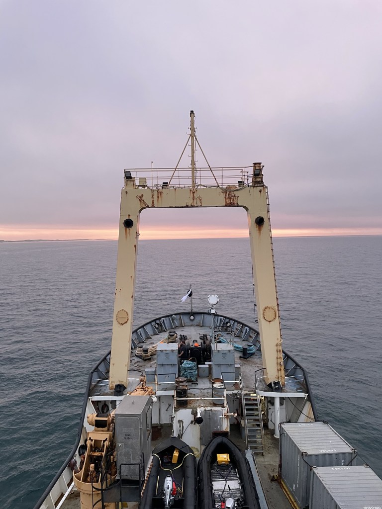
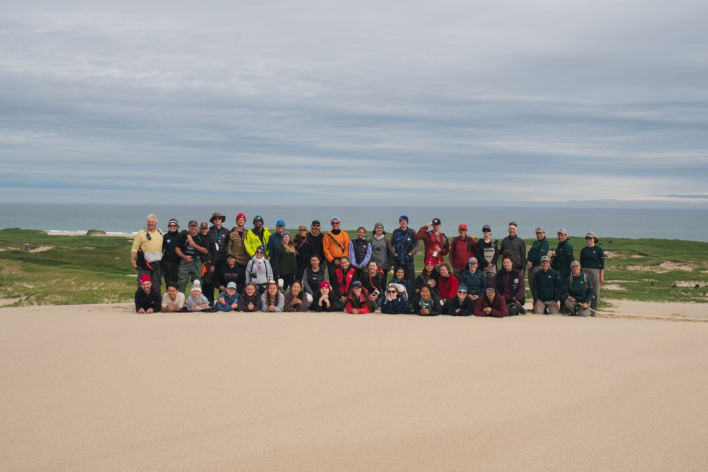
My dream became a reality in the summer of 2022 when I set sail on an expedition with Students On Ice around Cape Breton and Sable Island. After circumnavigating Cape Breton Island aboard the Polar Prince, we set sail for Sable Island.
Our First Day on the Island
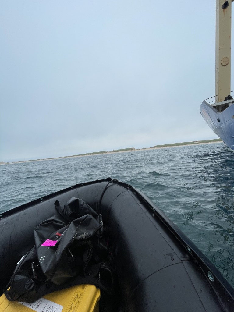
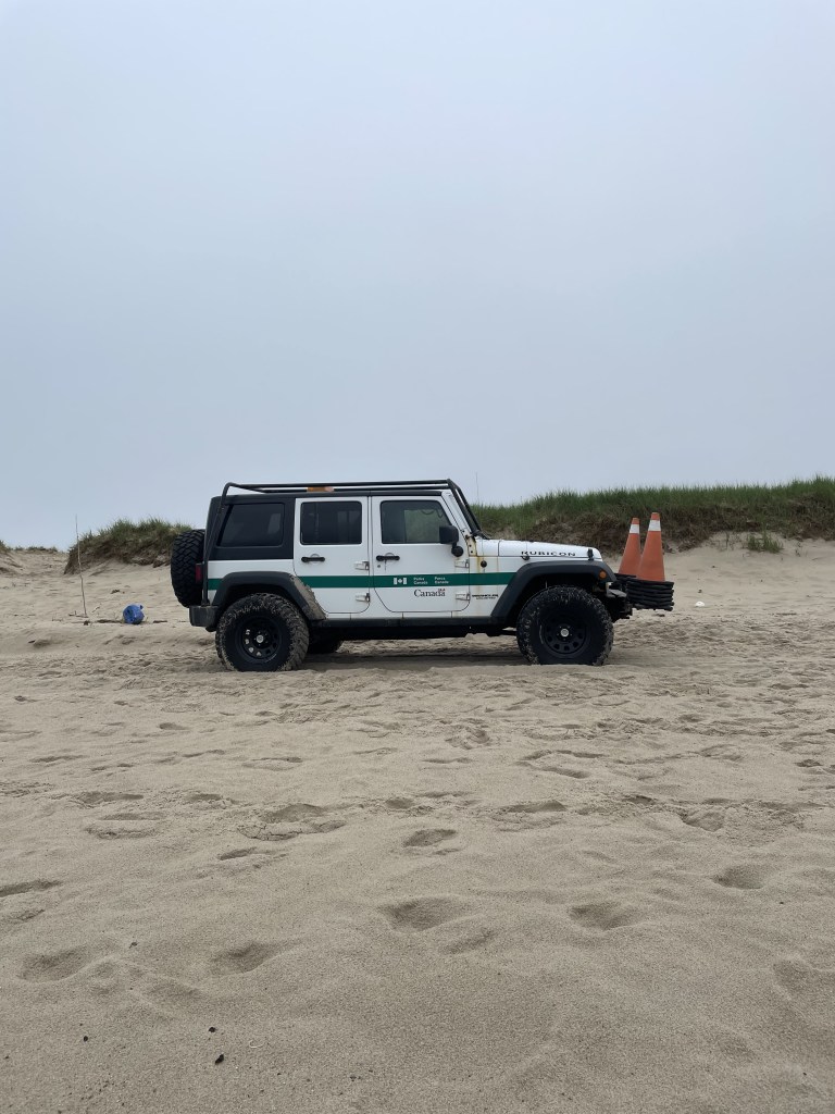
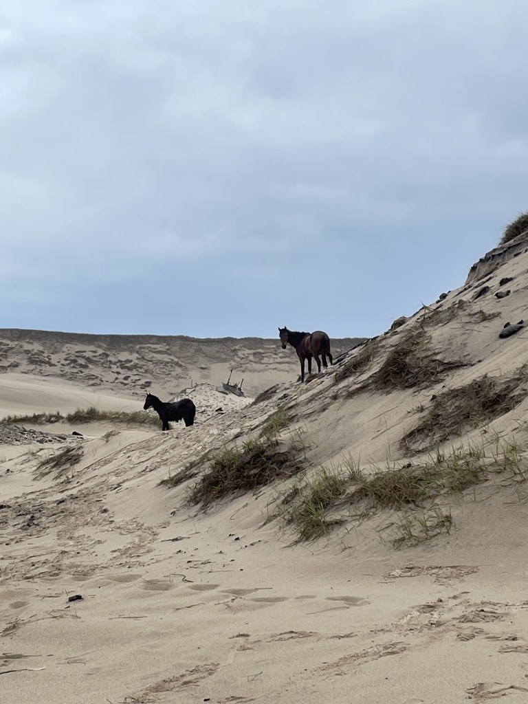
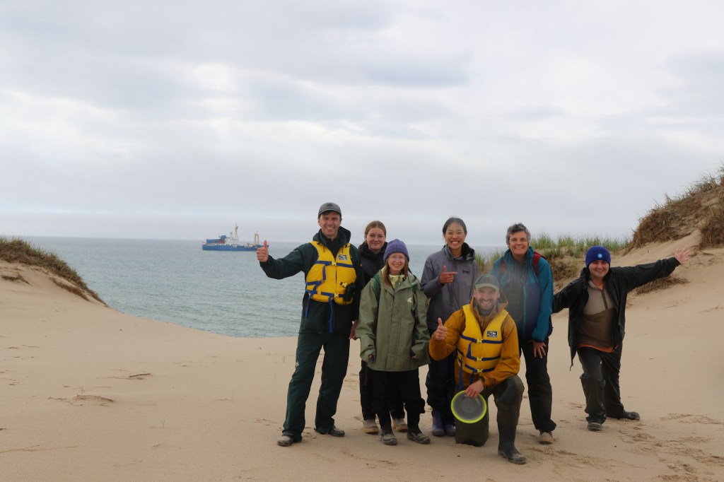
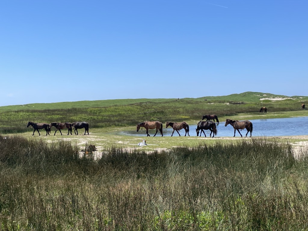
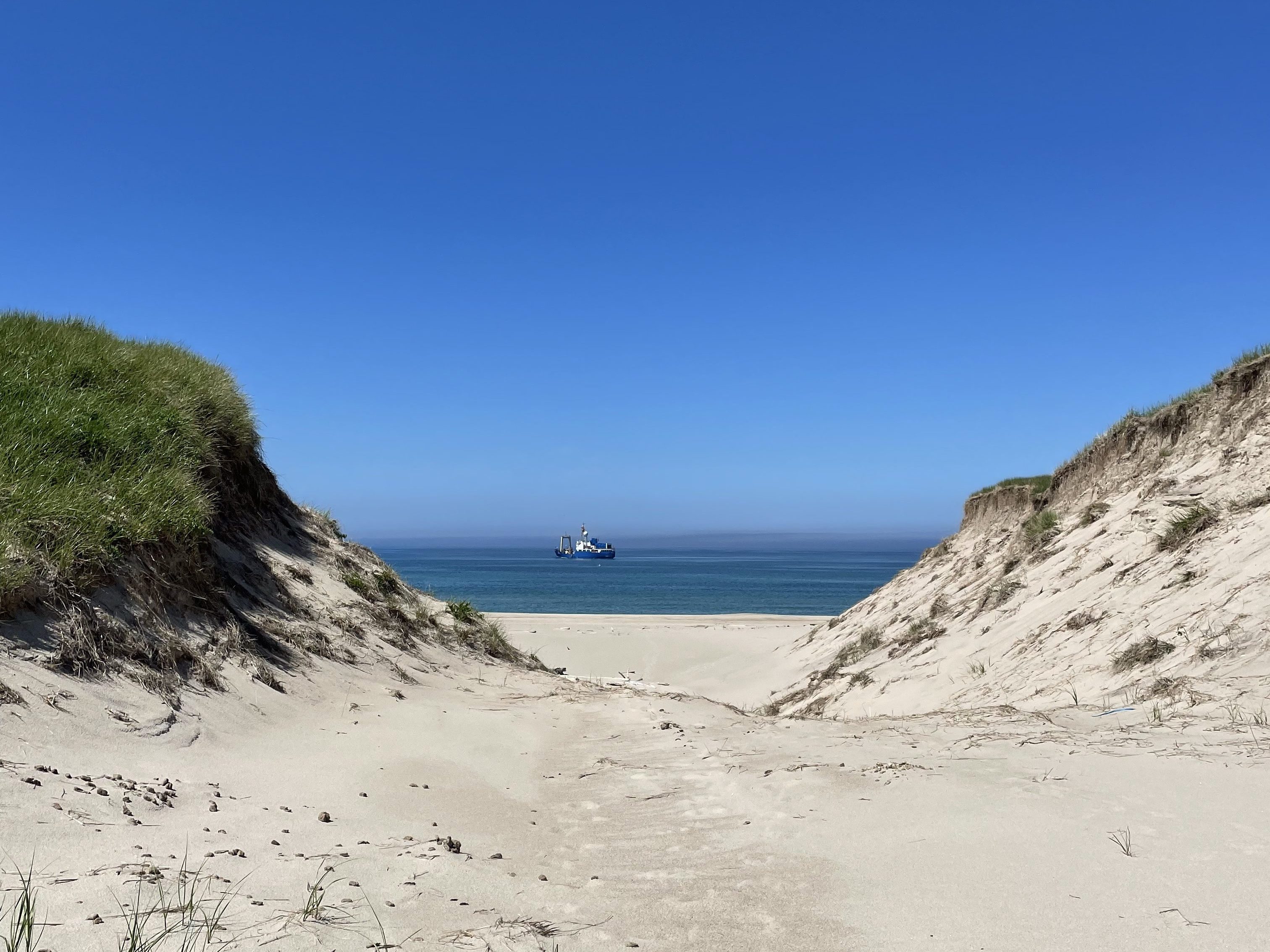
The next morning, we woke up to the ship pulling up alongside Sable Island. It was foggy and pouring rain. After breakfast, we dressed in our rain gear and boarded the Zodiac to make our way to the island’s shore. We landed at East Point, where we were greeted by Parks Canada staff, about 40 grey seals watching us from the beach, and a half-dozen wild horses staring at us from the dunes.
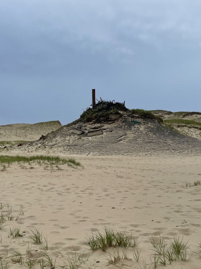
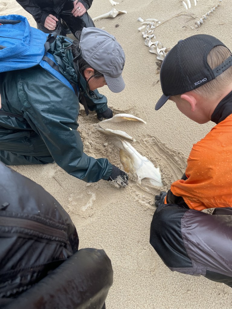
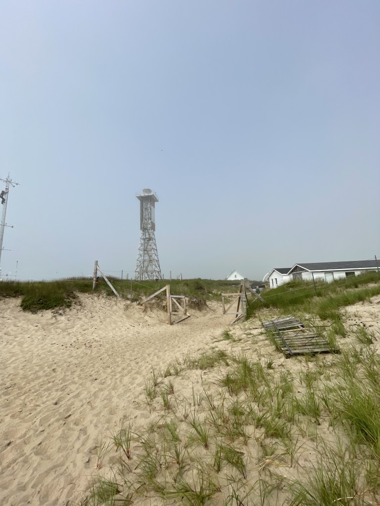
Despite the rain, we hiked through the sandy dunes toward East Light, a lighthouse that is no longer functional but still stands. Here, we saw the ruins of an old outpost that once housed the family who operated the original lighthouse. The site was being consumed by Sable Island’s ever-shifting sands. Because these dunes constantly shift, artifacts from the past are frequently uncovered and buried again, making extensive archaeological digs nearly impossible.
We split into smaller groups to explore, setting off to find the famous Sable Island horses, which are now considered a distinctive breed unique to the island. On our hike, we spotted some horses and came across the skeletal remains of one, partially buried in the sand.
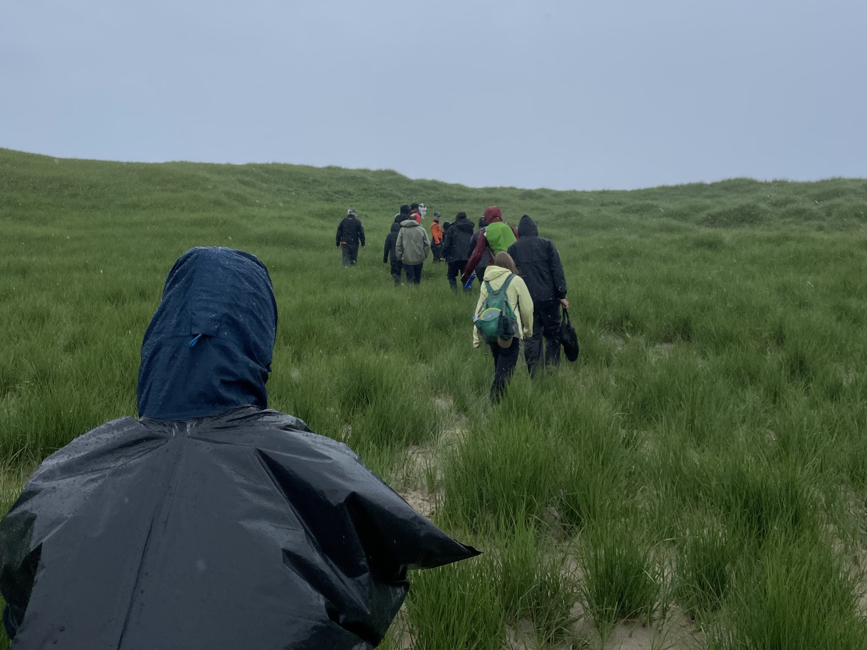
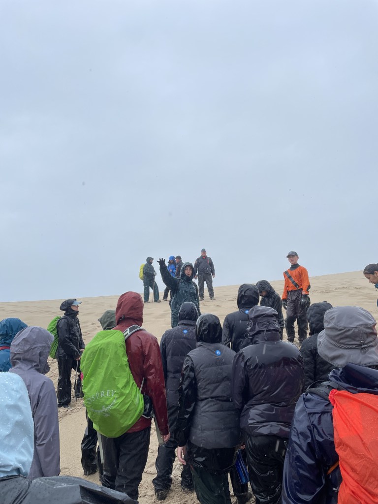
After a morning of exploration, we returned to the ship for lunch and to dry off. Once the rain subsided, we returned to the island and hiked up Bald Dune, the largest and highest dune on Sable Island. From the top, we had a magnificent view of both sides of the island and the surrounding blue ocean. We took a moment to reflect on our surroundings, and George Woodhouse, a local musician and expedition team member, sang a song he wrote about a receding glacier in Greenland. It was a fitting moment as we sat atop a dune on Sable Island, where the landscape is in constant motion—high winds shift the dunes, waves erode the western side while depositing sand on the eastern side, and the island slowly sinks as sea levels rise.
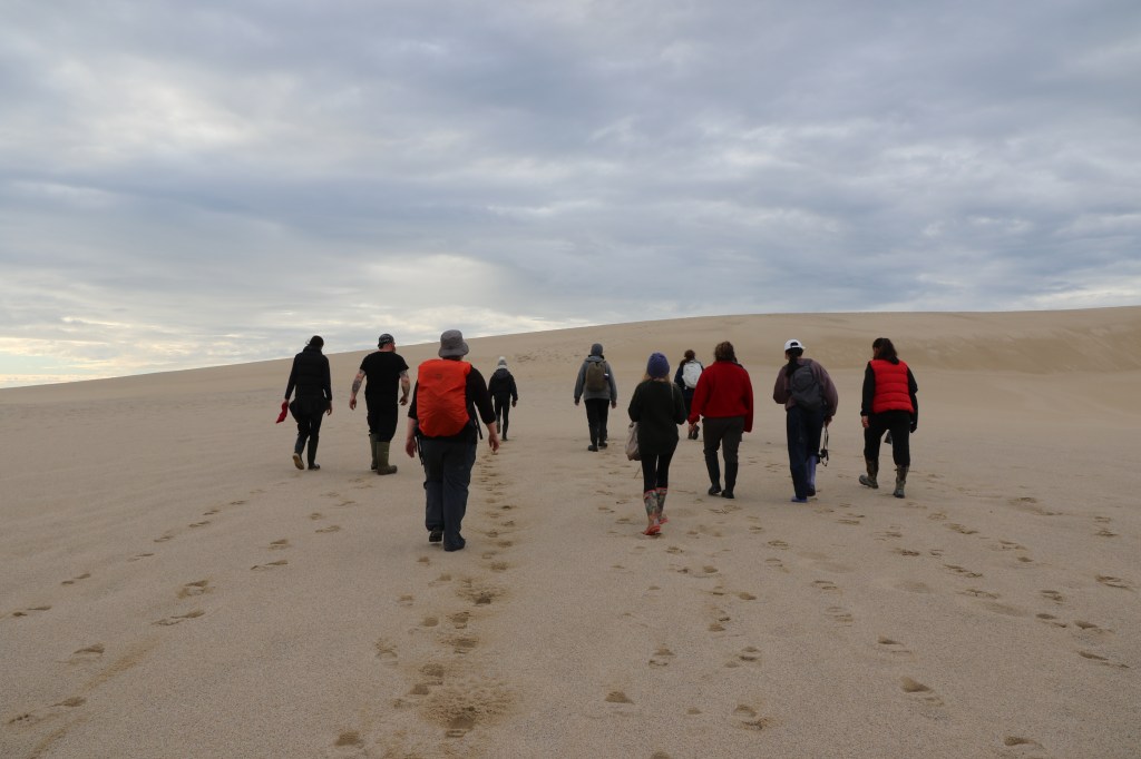
We hiked back down and split into smaller groups again. My group went to see the horses before making our way back to the shore and returning to the ship for dinner and much-needed rest after a long day of hiking through the sand.
Second Day on the Island
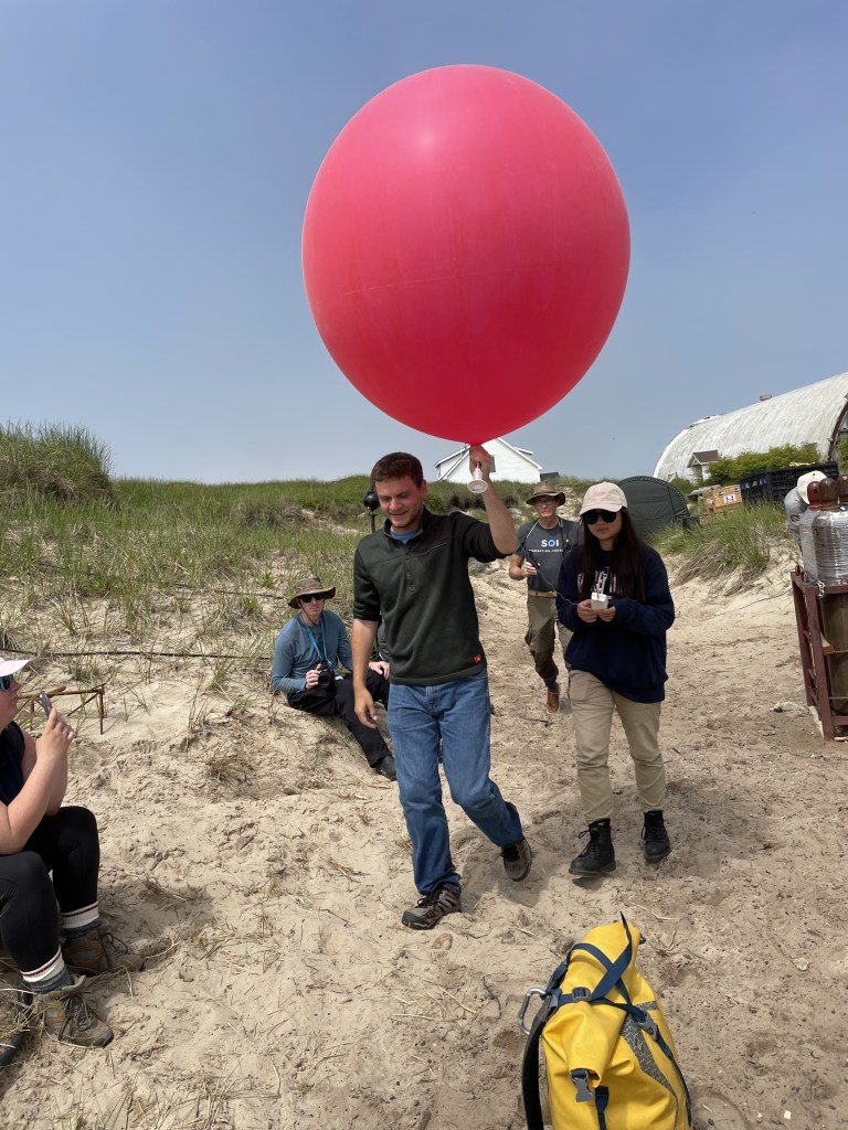
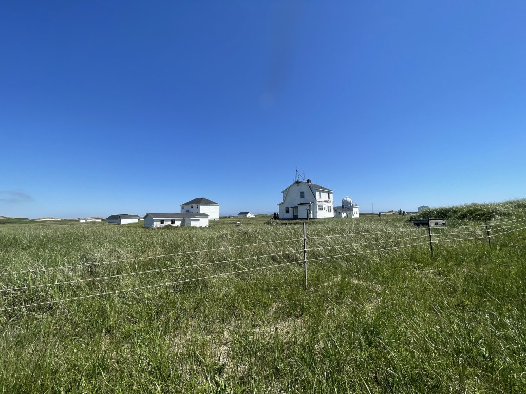
The next morning, we returned to Sable Island and headed to West Light, where we visited a research team from the University of Notre Dame studying marine fog as part of the Fog and Turbulence Interactions in the Marine Atmosphere (FATIMA) project. Sable Island was chosen for this study because, in the summer, it is the foggiest place on Earth. The researchers demonstrated the launch of a weather balloon used to collect data on altitude, temperature, pressure, and humidity to determine where the fog begins and ends.
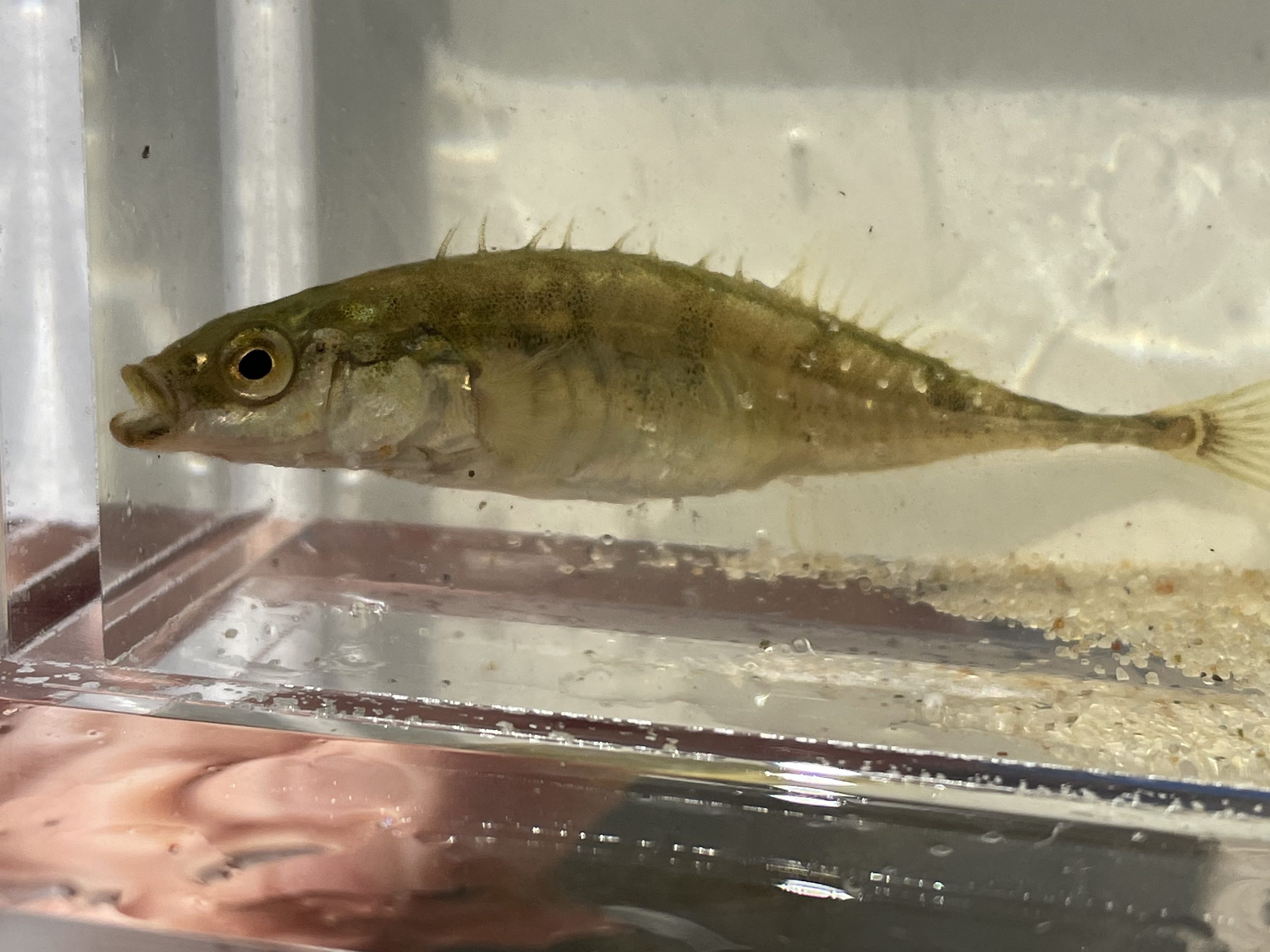
Next, we visited a nearby pond, where I assisted with setting up minnow traps for fish sampling with Katrina Ilves, a research scientist from the Canadian Museum of Nature and a member of the expedition’s education team. As we worked, a group of horses approached the opposite side of the pond to drink.
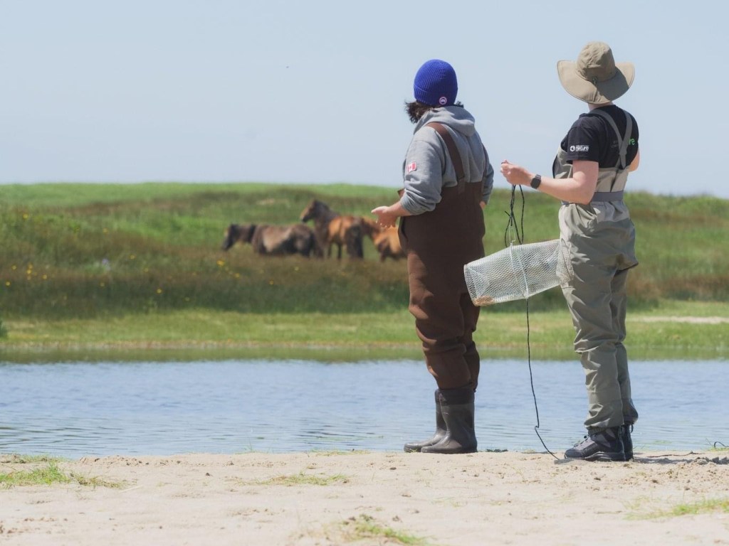
We caught some sticklebacks, a fish that inhabits the freshwater ponds between Main Station and BIO House. As we observed them, some of the stallions started clashing and kicking each other, causing the rest of the band to move toward us. We quickly backed up into the grass, leaving our belongings in the sand. The horses curiously sniffed our things but eventually moved on, allowing us to retrieve them.
Afterward, we hiked to Main Station, where Parks Canada staff gave us a tour. The station had free Wifi, washrooms, drinking water, and a mobile gift shop (a Rubbermaid container filled with merchandise). They did have a debit machine, but it stopped working while I was trying to make a purchase, so they processed my payment manually. I recommend bringing cash just in case.
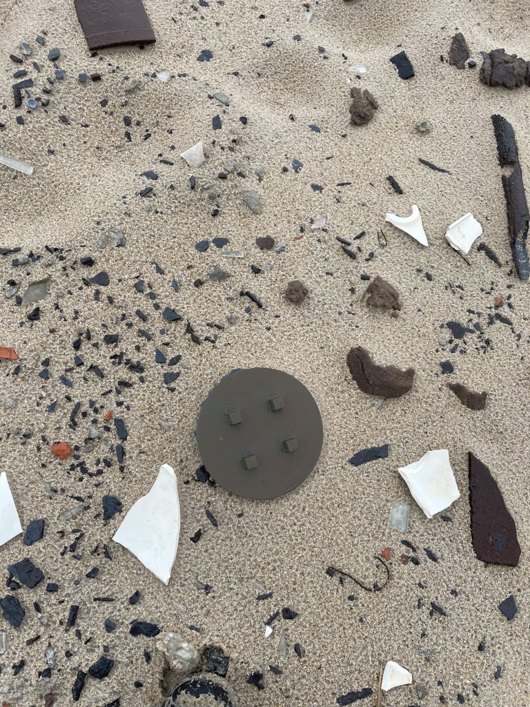
We then met with Zoe Lucas from the Sable Island Institute. Zoe has spent the last 50 years living and working on Sable Island. She shared details about her beach monitoring survey, including the plastic debris she collects along the shore and how she meticulously logs each piece, contributing important data on ocean plastics.
After an incredible two days, we returned to the ship for dinner, pulled anchor, and set sail back toward the mainland.
How to Get to Sable Island
Sable Island is located 290 km off the coast of Halifax in the North Atlantic and is only accessible by air or sea.
Travel by Plane
Sable Aviation offers the only fixed-wing airplane service to Sable Island. With no permanent runways, the plane lands on the island’s 10 km-long south beach. Flights are sold on a per-seat basis, transporting up to seven passengers. Tourist flights are scheduled for Saturdays, with Sundays reserved as backup dates in case of poor conditions.
Travel by Helicopter
Vision Air offers the only helicopter service to Sable Island. The helicopter lands on a permanent helipad and can take up to eight passengers. Flights are scheduled for Tuesdays and Thursdays, with Wednesdays and Fridays reserved as backup dates.
Tour Operators
- Kattuk Expeditions – Specializes in guided hiking and photography expeditions to Sable Island National Park Reserve.
- Picture Perfect Tours – Offers small-group adventures and private excursions to Sable Island led by local artists, photographers, and architects.
Set Sail
If you have your own boat, you can sail to Sable Island, but you must register in advance with Parks Canada. Visitor requests are approved on a first-come, first-served basis. Some small expedition cruises, such as Adventure Canada, occasionally include a stop at Sable Island in their itineraries.
When to Visit?
Parks Canada welcomes visitors to Sable Island National Park Reserve from June to the end of October. In the winter, a limited number of guided trips are available in January and February through Parks Canada’s licensed tour operators.
Can’t Make It to Sable Island?
Visit the Shubenacadie Wildlife Park – this is the only place outside of Sable Island where you can see the famous Sable Island horses.
Explore Sable Island on Google Maps – Check out Sable Island using Google Street View! You can actually see my group on Street View. As we explored the island, Brian Redmond—an independent Google Street View producer, 360 filmmaker, and expedition media team member—recorded our journey with a 360-degree camera and uploaded it to Google Maps.
Sable Island is a truly magical place, and I feel incredibly fortunate to have visited. If you ever have the opportunity to go, I highly recommend it. It’s an adventure like no other!


Leave a comment